


Weather Forecast Outlook for 4 Apr 2018 – 29 Apr 2018 (4-2-18, 12:45pm)
go.ncsu.edu/readext?518892
en Español / em Português
El inglés es el idioma de control de esta página. En la medida en que haya algún conflicto entre la traducción al inglés y la traducción, el inglés prevalece.
Al hacer clic en el enlace de traducción se activa un servicio de traducción gratuito para convertir la página al español. Al igual que con cualquier traducción por Internet, la conversión no es sensible al contexto y puede que no traduzca el texto en su significado original. NC State Extension no garantiza la exactitud del texto traducido. Por favor, tenga en cuenta que algunas aplicaciones y/o servicios pueden no funcionar como se espera cuando se traducen.
Português
Inglês é o idioma de controle desta página. Na medida que haja algum conflito entre o texto original em Inglês e a tradução, o Inglês prevalece.
Ao clicar no link de tradução, um serviço gratuito de tradução será ativado para converter a página para o Português. Como em qualquer tradução pela internet, a conversão não é sensivel ao contexto e pode não ocorrer a tradução para o significado orginal. O serviço de Extensão da Carolina do Norte (NC State Extension) não garante a exatidão do texto traduzido. Por favor, observe que algumas funções ou serviços podem não funcionar como esperado após a tradução.
English
English is the controlling language of this page. To the extent there is any conflict between the English text and the translation, English controls.
Clicking on the translation link activates a free translation service to convert the page to Spanish. As with any Internet translation, the conversion is not context-sensitive and may not translate the text to its original meaning. NC State Extension does not guarantee the accuracy of the translated text. Please note that some applications and/or services may not function as expected when translated.
Collapse ▲Dear Agents, Agronomists, Growers and Friends,
After the period of warmer temperatures early this week, temperatures fall to below normal by mid week with temperatures remaining below normal until about April 9 when a warming trend is expected to begin and last through much of the remainder of April.
The longer range models continue to indicate that May and June will trend to see above normal temperatures with precipitation amounts being about average for the forecast region.
These are the forecast regions:
Region 1 – Richmond, VA
Region 2 – VA Beach, VA
Region 3 – Clayton, NC
Region 4 – Greenville, SC
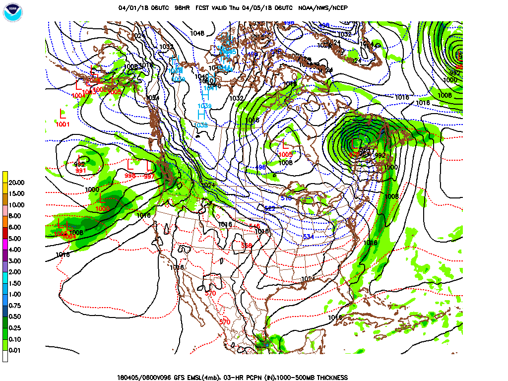
Forecast discussion day 3 – 5 (4 Apr – 6 Apr) Temperatures start period warmer than normal but cool to below normal; brief period of showers early then mostly dry conditions all regions rest of period. Much cooler air moves into the forecast area behind a cold front as it pushes through the region from west to east very early in the period. There is a significant chance of overnight below freezing temperatures especially in regions 1 and 3 if overnight conditions are clear and calm. Conditions stay mostly dry with only a brief period of showers early in the period for Region 1. Precipitation amounts will likely be in the 0.05 – 0.15” range.
Temperature Forecast and Climatology:
| Region and Rep Station | Fcst High T Range | Climo High T | Fcst Low T Range | Climo Low T | |
| Reg 1 Richmond VA | 55-71 | 66 | 32-39 | 44 | |
| Reg 2 VA Beach VA | 54-70 | 64 | 37-41 | 47 | |
| Reg 3 Clayton NC | 56-72 | 70 | 33-42 | 47 | |
| Reg 4 Jackson NC | 59-71 | 71 | 39-49 | 50 | |
| Reg 5 Greenville SC | 60-70 | 70 | 37-48 | 49 |
Forecast discussion day 6 – 8: (7 Apr – 9 Apr) Temperatures below normal all regions; widespread rain mid period. Expect a low pressure system to move through the forecast area by mid period. The flow around the low pressure system will bring in even colder air. Expect temperatures to be well below normal with the threat of below freezing temperatures especially in region 1. Expect the low pressure system to cause a period of widespread steady rain and even some snow in the higher elevations. Precipitation amounts will likely be in the 0.30 – 0.60” range for most locations.
Temperature Forecast and Climatology:
| Region and Rep Station | Fcst High T Range | Climo High T | Fcst Low T Range | Climo Low T | |
| Reg 1 Richmond VA | 43-62 | 67 | 30-40 | 45 | |
| Reg 2 VA Beach VA | 45-64 | 65 | 35-45 | 48 | |
| Reg 3 Clayton NC | 50-65 | 71 | 34-46 | 48 | |
| Reg 4 Jackson NC | 57-68 | 71 | 37-50 | 51 | |
| Reg 5 Greenville SC | 59-65 | 71 | 42-50 | 50 |
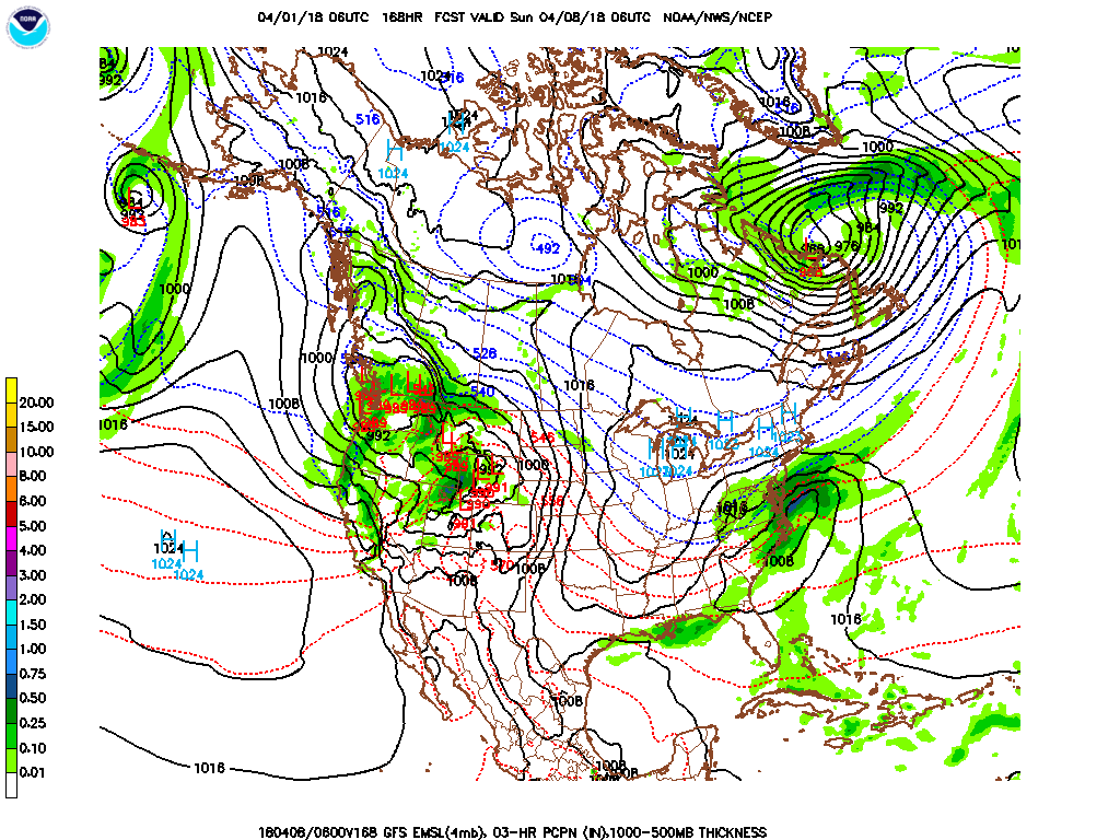
Forecast discussion day 9 – 11: (10 Apr – 12 Apr) Temperatures warm to near normal; showers early mostly dry conditions all regions rest of period. Low pressure system moves through the forecast area early. Cold air looks to be trapped by the jet stream in the northern states during this period allowing temperature to warm to near normal of the season., Expect showers and some widely scattered thunderstorms early. Precipitation amounts will likely be in 0.10 – 0.20” range.
Temperature Forecast and Climatology:
| Region and Rep Station | Fcst High T Range | Climo High T | Fcst Low T Range | Climo Low T | |
| Reg 1 Richmond VA | 66-68 | 68 | 38-43 | 46 | |
| Reg 2 VA Beach VA | 67-69 | 66 | 42-48 | 49 | |
| Reg 3 Clayton NC | 68-75 | 72 | 43-47 | 49 | |
| Reg 4 Jackson NC | 71-76 | 72 | 49-52 | 52 | |
| Reg 5 Greenville SC | 69-74 | 72 | 47-49 | 51 |
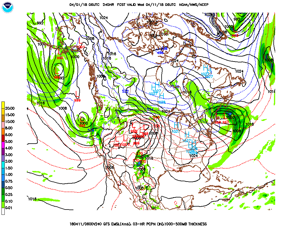
Forecast discussion day 12 – 14: (13 Apr – 15 Apr) Temperatures remain near normal; scattered showers and thunderstorms mid period. Expect a series of low pressure systems to move north of the forecast area through the period. This will keep high temperatures near normal, but expect low temperatures slightly below normal. During mid-period expect scattered showers and thunderstorms. Precipitation amounts will likely be in the 0.10 – 0.20” range for most locations.
Temperature Forecast and Climatology:
| Region and Rep Station | Fcst High T Range | Climo High T | Fcst Low T Range | Climo Low T | |
| Reg 1 Richmond VA | 43-62 | 67 | 30-40 | 45 | |
| Reg 2 VA Beach VA | 45-64 | 65 | 35-45 | 48 | |
| Reg 3 Clayton NC | 50-65 | 71 | 34-46 | 48 | |
| Reg 4 Jackson NC | 57-68 | 71 | 37-50 | 51 | |
| Reg 5 Greenville SC | 59-65 | 71 | 42-50 | 50 |
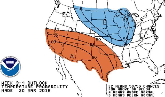
Day 15 – 30 Temperature Outlook 16 Apr – 29 Apr
Day 15 – 30 Precipitation Outlook 16 Apr – 29 Apr
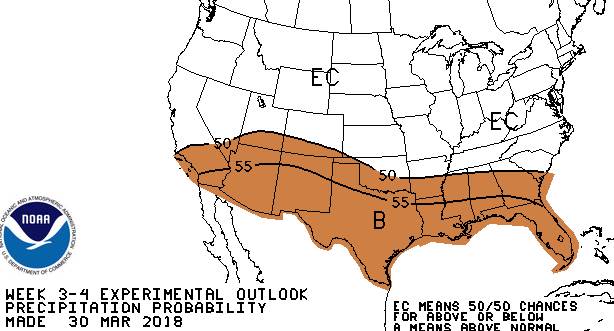
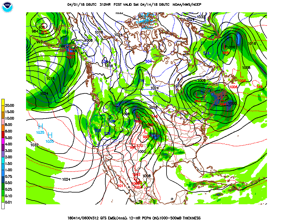
Outlook discussion day 15 – 22: (16 Apr – 22 Apr Mar) Early indications are that temperatures and precipitation will be near the seasonal average during this period.
Temperature Forecast and Climatology:
| Region and Rep Station | Climo High T | Climo Low T | |
| Reg 1 Richmond VA | 71 | 50 | |
| Reg 2 VA Beach VA | 68 | 51 | |
| Reg 3 Clayton NC | 74 | 51 | |
| Reg 4 Jackson NC | 74 | 54 | |
| Reg 5 Greenville SC | 74 | 53 |
Outlook discussion day 23 – 30: (23 Apr – 29 Apr) Early indications are that temperatures will be near to slightly below the seasonal average and precipitation will be near the seasonal average during this period.
Temperature Forecast and Climatology:
| Region and Rep Station | Climo High T | Climo Low T | |
| Reg 1 Richmond VA | 72 | 51 | |
| Reg 2 VA Beach VA | 70 | 53 | |
| Reg 3 Clayton NC | 75 | 52 | |
| Reg 4 Jackson NC | 76 | 55 | |
| Reg 5 Greenville SC |
April Outlook: April outlook is for warmer and drier than normal conditions for the forecast region.
May Outlook: It looks like May will continue the above normal temperature trends, but May will tend to be wetter with precipitation amounts being about average for the forecast region.